New: AI-built dashboards you can share with one link. See what shipped →
Parcel scoring, market heat maps, and demographic trade-area analysis.
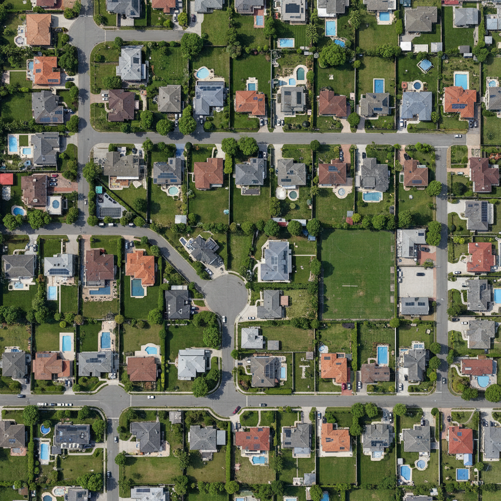
Developers, investors, and proptech teams make billion-dollar location decisions on parcel data, demographics, and zoning — most of which is pure vector analysis. Imagery-based building footprints and 3D massing move to desktop.
Web · vector workflows
Drop your shapefiles, GeoJSON, or GeoPackage into the workspace and ask. No install, free forever tier, results in seconds.
Score parcels by walkability, transit access, and proximity to amenities or employment centers.
› Score every parcel by walkability, transit access, and distance to top employers
Visualize transaction prices, rental yields, and volumes as choropleth or heatmap layers.
› Heat map of median property prices by neighborhood with year-over-year change
Filter parcels by zoning, FAR, and environmental overlays to surface developable sites.
› Filter parcels zoned mixed-use with FAR above 3.0 and no environmental overlay
Compute drive-time isochrones around any site and roll up demographics inside.
› Demographic profile within a 15-minute drive of this site — income, age, household size
Find recent transactions within a radius and compute distance-weighted comparable values.
› Find sales within 1km in the last 12 months; distance-weighted average $/sqft
Desktop · raster image processing
The desktop app runs Python on your machine — no timeouts, no upload limits, works air-gapped. Request access to get the build that fits your OS and use case.
Extract building footprints from high-resolution satellite or drone imagery for portfolio inventory.
Build 3D massing from DEM + footprint heights and run shadow studies for any time of year.
Compare drone-captured DEMs over time to track vertical progress on active sites.
One workspace
Start in the browser. Move to desktop when the dataset gets heavy. Projects sync — no re-importing, no re-prompting.
Describe the analysis. GeoPilot picks ops, runs them, returns map + data + report.
Buffers, joins, network analysis, choropleths — finishes in seconds, every plan.
Same chat continues against local Python. No timeouts, no upload caps.
Free vector tier. Desktop by request — tell us your OS, dataset size, and sensor type and we'll get back within one business day.