New: AI-built dashboards you can share with one link. See what shipped →
Concession overlays, environmental compliance buffers, and lease portfolio analysis.
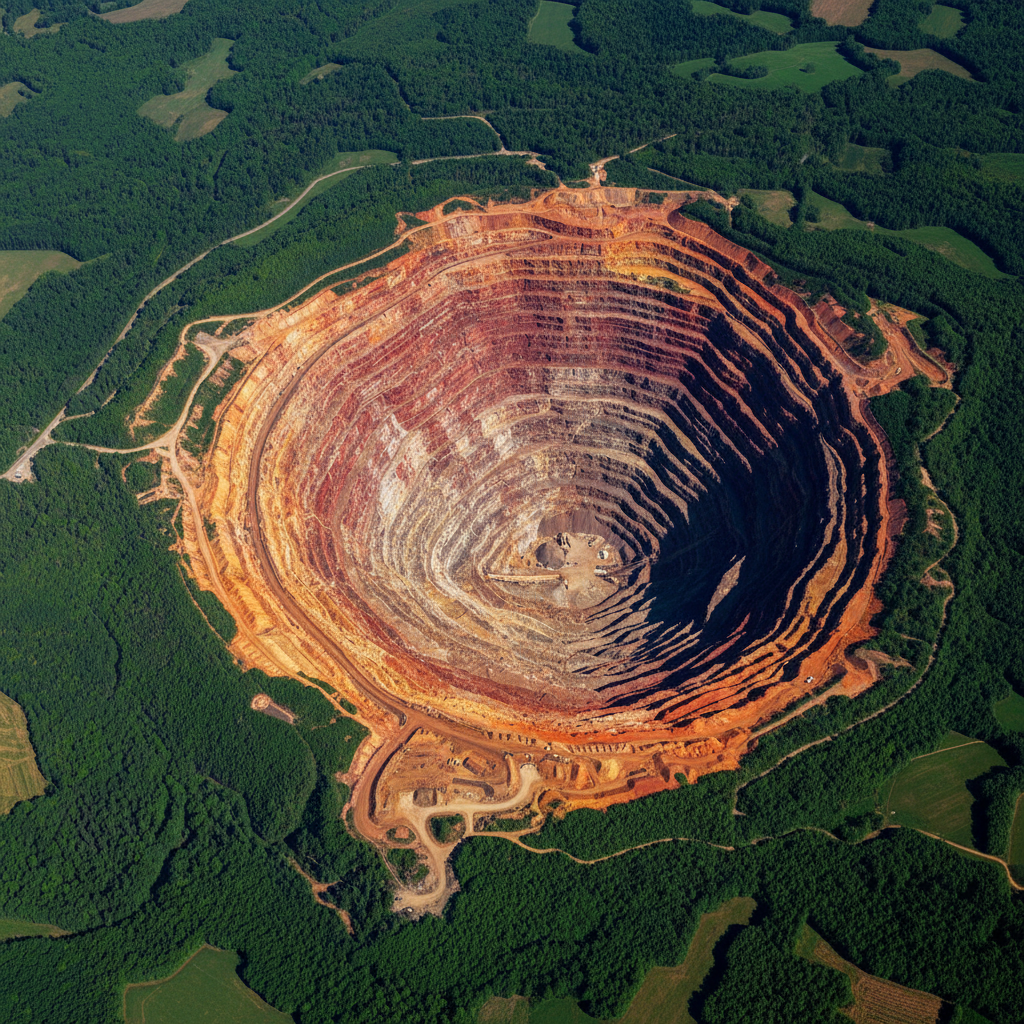
Mining companies need rapid concession analysis, environmental compliance checks, and stakeholder mapping across vast lease areas. Vector workflows are constant; raster analysis on terrain and remote-sensing data is heavier and best run locally.
Web · vector workflows
Drop your shapefiles, GeoJSON, or GeoPackage into the workspace and ask. No install, free forever tier, results in seconds.
Intersect concession polygons with cadastral, forest, and protected-area layers to flag conflicts.
› For each mining lease, list all overlapping forest and protected-area polygons
Buffer water bodies, settlements, and protected areas to map exclusion zones inside any concession.
› Show all rivers and settlements within 5km of the lease boundary with regulatory buffer polygons
Geocode community settlements and compute proximity to active operations for engagement planning.
› List every settlement within 10km of an active pit, with population and distance
Use vector road networks to compute shortest paths between pit, plant, and stockyards.
› Find the shortest road route from pit-3 to the crusher, avoiding restricted segments
Aggregate lease attributes across a portfolio to spot concentration risk by district or commodity.
› Create a heat map of total lease area per district, classified by primary commodity
Desktop · raster image processing
The desktop app runs Python on your machine — no timeouts, no upload limits, works air-gapped. Request access to get the build that fits your OS and use case.
Compute material moved between two photogrammetry-derived DEMs of the active pit.
Stack geological, geochemical, and lineament rasters with weighted-overlay scoring for exploration targeting.
Derive slope, aspect, and curvature rasters from high-resolution DEMs for haul-road and bench design.
One workspace
Start in the browser. Move to desktop when the dataset gets heavy. Projects sync — no re-importing, no re-prompting.
Describe the analysis. GeoPilot picks ops, runs them, returns map + data + report.
Buffers, joins, network analysis, choropleths — finishes in seconds, every plan.
Same chat continues against local Python. No timeouts, no upload caps.
Free vector tier. Desktop by request — tell us your OS, dataset size, and sensor type and we'll get back within one business day.