AI-Powered GIS
The first GIS
you can talk to
Upload your data, describe what you need in plain English, and watch the map update in seconds.
>
186+
GIS tools
31
Industry verticals
0
Learning curve
What you get
Natural Language
Type what you need. No menus, no manuals.
186+ GIS Tools
Buffer, clip, dissolve, watershed, interpolation, network analysis.
Charts & Reports
Auto-generate maps, charts, and PDF reports from your data.
Any Format
Shapefile, GeoJSON, GeoTIFF, KML, CSV, GeoPackage.
Vector + Raster
From shapefiles to DEMs, satellite imagery to point clouds.
AI-Powered
Gemini AI plans, generates code, executes, and explains results.
See it work
Upload data, type a command, get results. Three steps.
Find flat areas near roads with low flood risk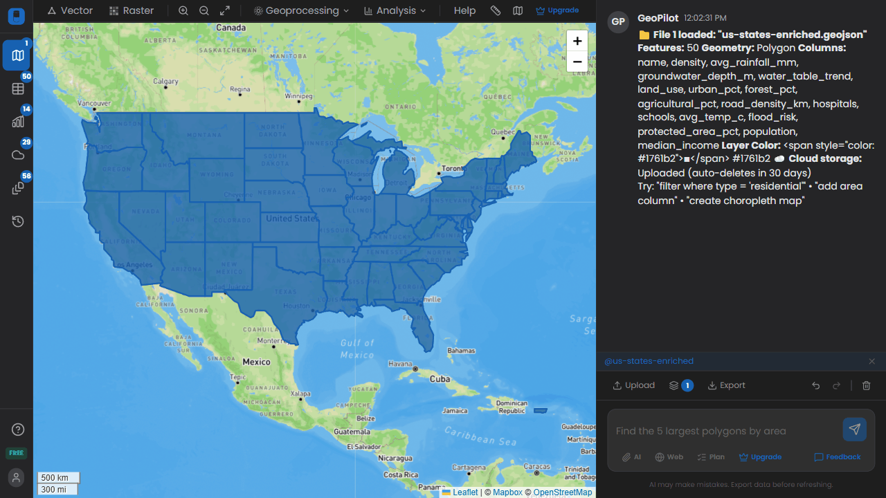
Site suitability analysis
Classify into 5 elevation bands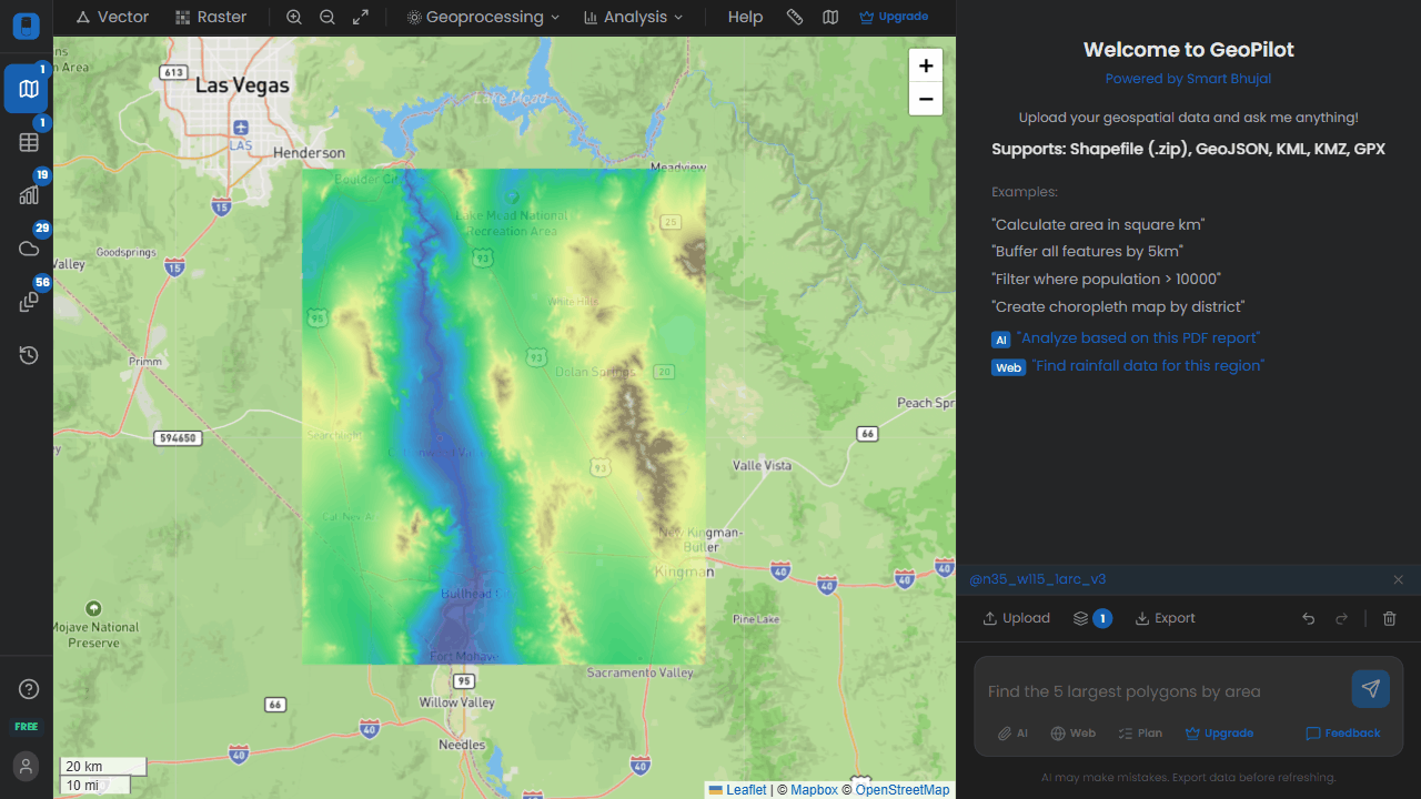
Elevation classification
Built for every field
Same platform. Your domain.
Water Resources
Urban Planning
Environment
Agriculture
Infrastructure
Real Estate
Simple pricing
All tools included. Pay only for more prompts.
MonthlyYearly
Free
$0
20 prompts/month
Starter
$10/mo
200 prompts/month
Pro
$20/mo
1,000 prompts/month
Business
$49/mo
Unlimited prompts/month
Enterprise / Desktop
On-premise deployment, custom datasets, SLA
Ready?
20 free prompts. No credit card.